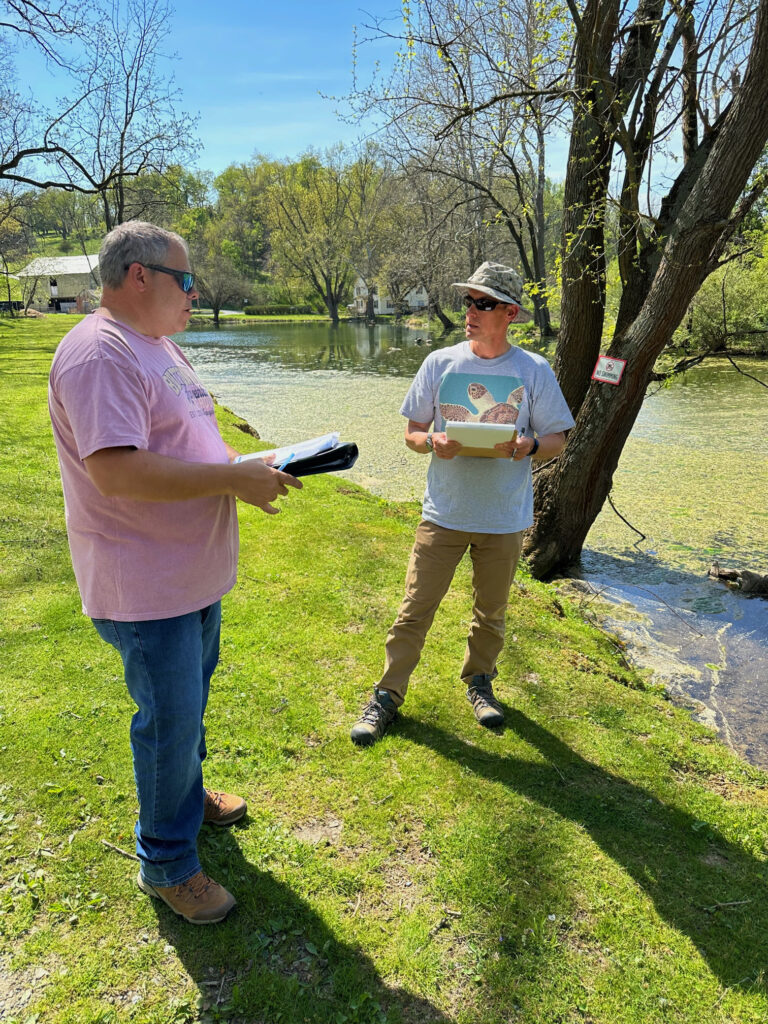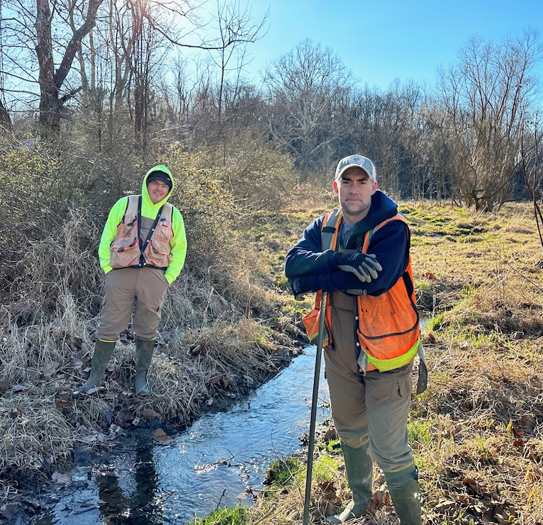
We enjoyed shadowing Tim Kellerman and Pat Upham from Triad Engineering, Inc. as they performed a wetland delineation study that will guide our restoration project.
This work was begun following an initial site assessment by Triad’s Civil Practice Leader Billie Swailes and Geotechnical Services Manager Steve Gyurisin.
Wetland areas are critical to our ecological, economic and social health. They provide habitats for fish, wildlife and plants, act as sponges to reduce flooding and recharge groundwater and act as buffers to reduce pollution. In addition, wetlands support cultural and recreational activities.
In preparing for our pond restoration project, wetlands within our project footprint must be delineated—a procedure through which wetland boundaries are identified.
Wetlands are identified by:
- hydrology—the degree of flooding or soil saturation
- soil characteristics—hydric soil unique to wetlands
- vegetation—presence of hydrophytic (water loving) plants
The Institute’s wetland and pond area are special features of our outdoor classroom. We look forward to welcoming learners and nature lovers of all ages to this place of exceptional natural beauty as we Conserve Wild Wonders!
Getting the lay of the land—and the water
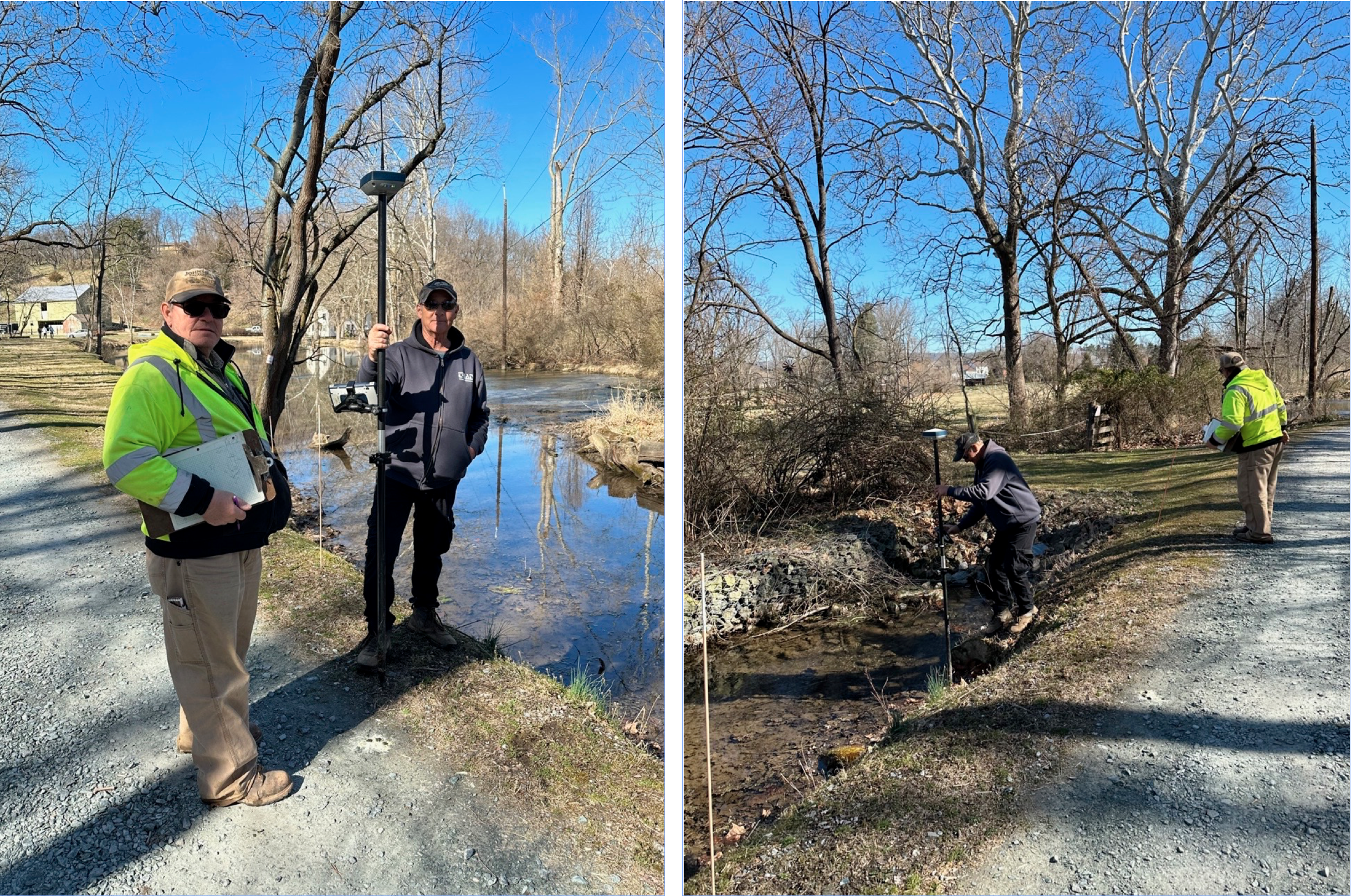
Triad’s survey team, Dave Paluch and Bill French, were also on hand to map out the pond and surrounding grounds for engineered construction drawings that will guide the construction phase, following completion of the design study.
Specialized equipment enables the team to map out the ground under the water as well as the area surrounding the pond.
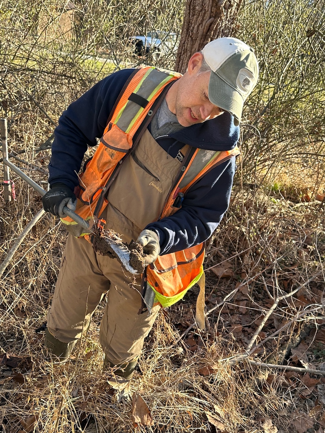
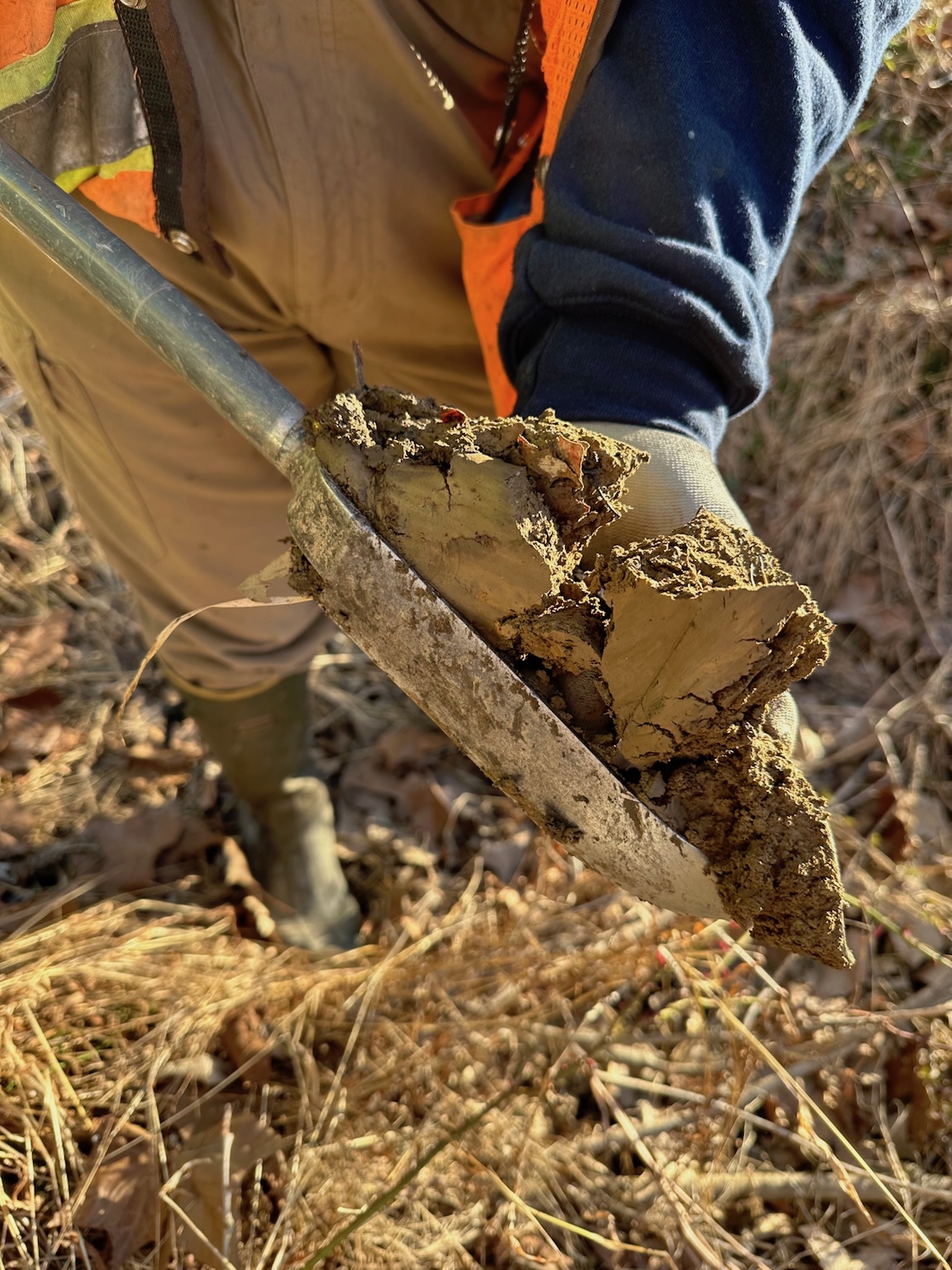
Is this wetland soil?
Soil investigation helps to identify a wetland.
Wetland soils are heavily saturated and can be identified by texture and color characteristics.
A soil blade is used to pull soil samples adjacent to our pond.
